The Dholera Special Investment Region was formed from 22 villages of Dholera taluka in Ahmedabad district, a taluka itself carved from the former Dhandhuka taluka. The count of 22 villages is durable, but a fully verified named list of all 22 is not reliably sourced in a single official document, so any circulating list should be treated with caution until confirmed against the SIR gazette or Town Planning notifications. Dholera village, which gives the region its name, recorded a population of 2,779 in the 2011 Census, with 576 households and 80.29 percent literacy. Farmland across these villages was brought into the city through Gujarat's town planning scheme model, in which raw agricultural land is reconstituted into serviced final plots.
The Dholera Special Investment Region was formed from 22 villages of Dholera taluka in Ahmedabad district, a taluka itself carved out of the former Dhandhuka taluka. The count of 22 is durable and widely stated. A fully verified named list of all 22 villages, however, is not reliably sourced in a single official document, so any list floating around should be treated with caution until checked against the SIR gazette or the Town Planning notifications. Dholera village, which gives the region its name, had a population of 2,779 in the 2011 Census. This page sets out what is solid, what is not, and how farmland across these villages was pooled into a planned city.
Dholerapedia is an independent, neutral reference. It does not sell plots. On the village list it applies its standard rule: state the count that is sourced, and refuse to publish a named list it cannot verify, rather than pass on a guess as fact.
The durable count and the unverified list
Two things need to be kept apart. First, the count: the region is consistently described as being formed from 22 villages of Dholera taluka. That is durable and we state it plainly. Second, the named list: which exact 22 villages, spelled which way, is not something we can source cleanly from one authoritative document. Different lists circulate on broker and blog pages, and they do not always agree. The proper source would be the SIR gazette notification or the Town Planning scheme notifications that name the villages inside each scheme. Until a list is checked against those, we do not print all 22 names as fact. This is the same discipline used across Dholera myths and facts.
Dholera village in the 2011 Census
The one settlement we can put hard numbers to is Dholera village itself, the namesake of the region. In the 2011 Census it recorded a population of 2,779, made up of 1,420 males and 1,359 females, across 576 households, with a literacy rate of 80.29 percent. These are village-level figures for Dholera specifically. A reliable taluka-wide population, or an updated post-2011 figure, is not something we can source cleanly, so we quote the census village data and stop there rather than extrapolate.
From farmland to a planned city: how land was pooled
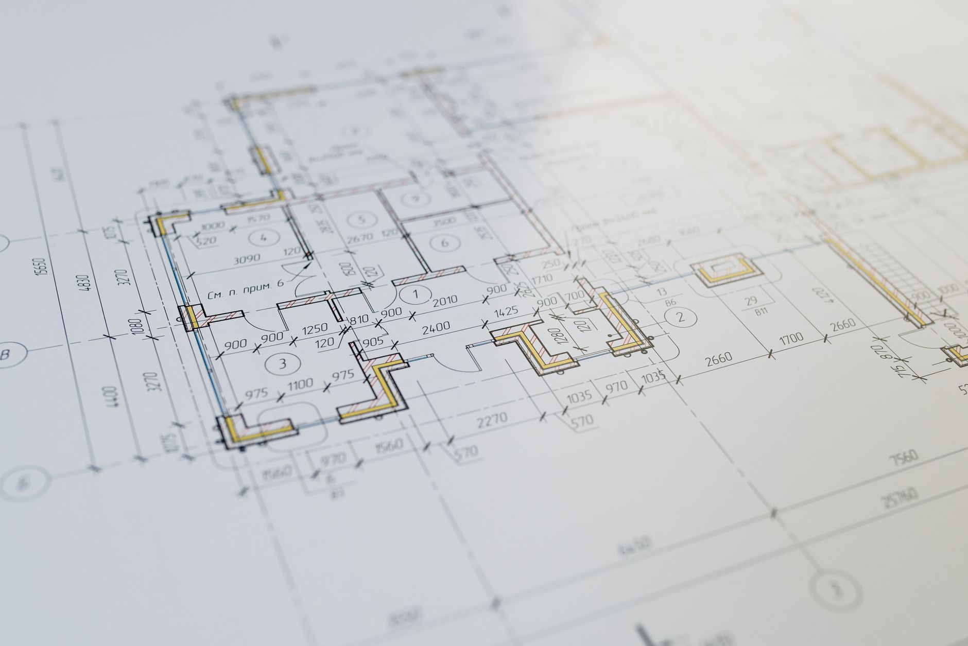
The land under Dholera was not one government purchase. It came together mainly through Gujarat's town planning scheme model, a land pooling and readjustment mechanism. In simple terms, the statutory authority, DSIRDA, takes the raw agricultural land inside a Town Planning scheme, reconstitutes it, and returns to each owner a smaller but serviced final plot, while retaining land for roads, utilities and plots that fund the infrastructure. Six schemes, TP1 through TP6, were planned to cover the phased region. For the layout these schemes create, see the Dholera master plan and the first serviced patch, the Activation Area.
How the town planning mechanism works
- An owner holds raw agricultural land inside a village that falls in a Town Planning scheme.
- The authority reconstitutes the scheme area and allots each owner a Final Plot, identified by an FP number.
- The returned Final Plot is smaller than the original raw holding but is serviced, with road access and utilities planned to it.
- The authority keeps a share of land for roads, open space, utilities and sellable plots that pay for the infrastructure.
- Land inside an approved Town Planning scheme is treated as Non-Agricultural under Gujarat rule, which is what allows planned development. Verify the effective status before relying on it.
This is why, when people talk about buying in Dholera, the Final Plot number and the Town Planning scheme status matter so much. They define what a piece of land actually is. Anyone weighing a purchase should read is Dholera safe to invest and confirm the FP number, the scheme, the RERA registration and the title, rather than trusting a village name on a brochure.
Villages, land and settlement at a glance
| Item | Detail | Confidence |
|---|---|---|
| Villages in the SIR | 22, from Dholera taluka | Durable count |
| Parent taluka | Dholera taluka, carved from former Dhandhuka | Durable |
| Full named list of 22 | Not reliably sourced in one document | Unverified |
| Dholera village population (2011) | 2,779 (1,420 M / 1,359 F) | Durable, census |
| Households (2011) | 576 | Durable, census |
| Literacy (2011) | 80.29% | Durable, census |
| Land assembly | Town planning scheme pooling into Final Plots | Durable principle |
Why the villages still matter
It is easy to talk about Dholera as if it began with a master plan, but these 22 villages are where it actually started, and their farmland is the ground under the whole project. That history runs back further still, into the salt-law events covered in Dholera satyagraha and the coastal Bhal land described in Dholera geography and climate. Keeping the villages in view is also a practical safeguard, because a plot is only ever as clear as its underlying land record, scheme status and title.
Frequently asked questions
How many villages make up Dholera SIR?
What are the names of the 22 villages?
What is the population of Dholera village?
How was farmland turned into the city?
Why does the Town Planning scheme matter when buying?
Which taluka is Dholera in?
DholeraPulse. (2026). The 22 Villages of Dholera and How Their Land Was Pooled. Retrieved 22 July 2026, from https://dholerapulse.com/dholera-villagesSources & references
- Dholerapedia Fact Pack, 2026 (22 villages of Dholera taluka, named list not reliably sourced, Census 2011 Dholera village 2,779 with 576 households and 80.29% literacy, town planning land pooling and Final Plots, N.A. treatment inside TP schemes)
- census2011.co.in, Dholera village
- DSIRDA Town Planning schemes and SIR notifications (for the authoritative village list, when consulted)
- Dholerapedia pillar pages: What is Dholera SIR, Dholera master plan, Dholera Activation Area, Is Dholera safe to invest
DholeraPulse labels facts by confidence. Figures marked reported or target come from press or announcements and may change; verify anything time sensitive against the official source before acting.