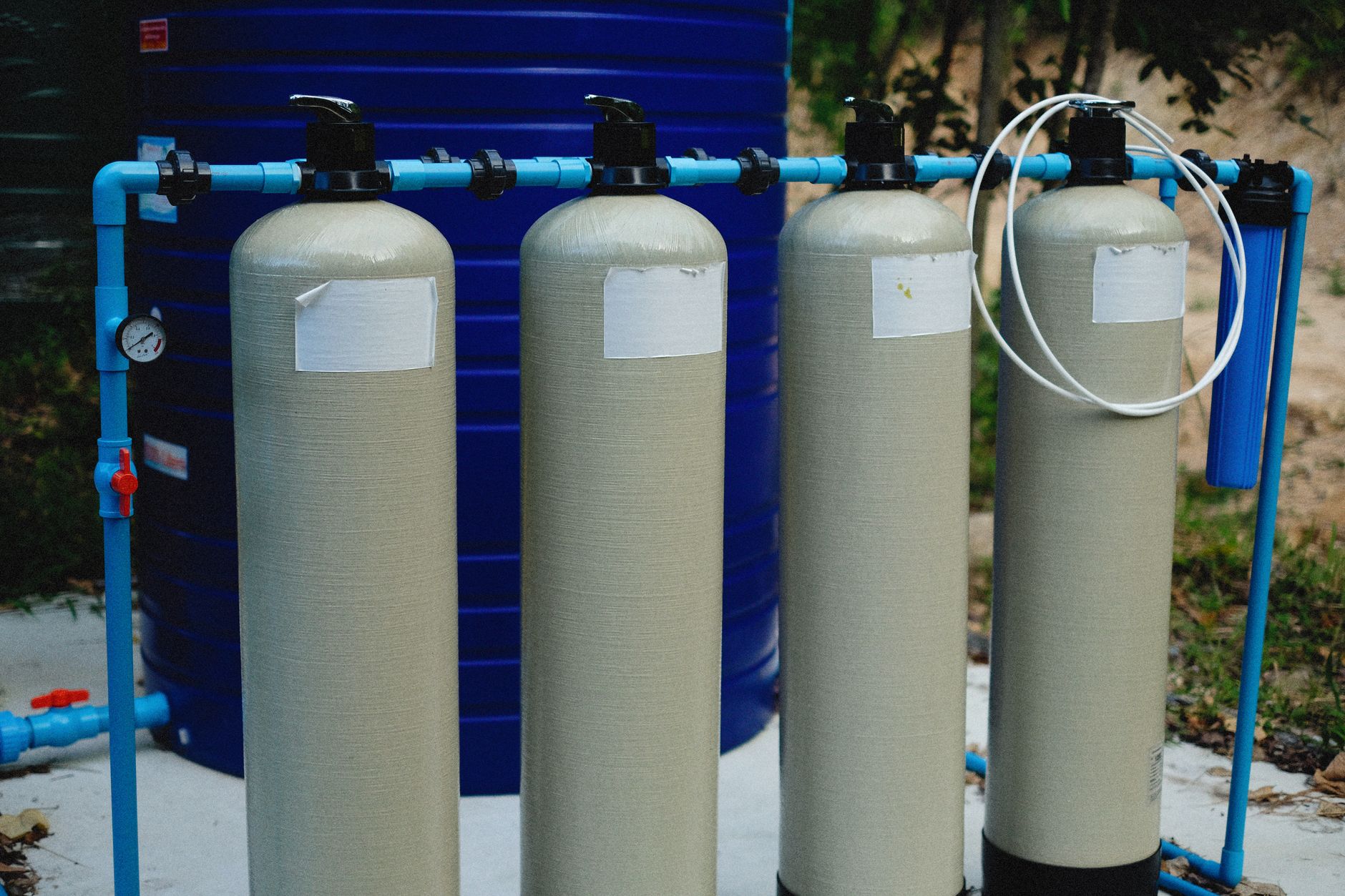
Dholera's water system, as reported for the roughly 22.5 sq km Activation Area, is built around a water treatment plant of about 50 MLD with reservoirs, a separate recycled-water network so treated water is reused, and stormwater channelled into a 6.5 km man-made canal. Potable water runs through underground pipes with smart meters and leak detection, and wastewater and effluent have dedicated lines. Because Dholera sits on low-lying coastal Bhal land with a large Coastal Regulation Zone share, drainage and flooding are real, documented planning constraints, which is why the canal and stormwater design matter. A desalination plant or a confirmed long-range bulk water source has not been reliably sourced as of 2026.
Water is one of the quieter but more important questions for any greenfield city, and Dholera's answer, as reported for the built-out Activation Area, has four parts: treat, reuse, drain and meter. There is a water treatment plant of about 50 MLD with reservoirs, a separate recycled-water network so treated water is put back to use, stormwater channelled into a 6.5 km man-made canal, and potable water piped underground with smart meters and leak detection. This page explains each piece, and it is honest about what is confirmed versus what is planned or unknown.
Dholerapedia is independent and neutral. We do not sell plots and we do not overstate what is built. The water figures here are drawn from a reported DICDL account of the Activation Area, so they describe the demonstration zone rather than the full 920 sq km region. For how that zone fits the wider plan, see the Dholera Activation Area and the overall Dholera master plan.
The water system in one view
For the roughly 22.5 sq km Activation Area, the reported water setup is a joined-up loop rather than a single tank. Clean water is treated and stored, delivered through metered underground pipes, collected again as wastewater, treated and recycled, and rainfall is carried off through a dedicated stormwater channel. Here are the headline pieces.
Treatment and storage: the ~50 MLD plant
At the core is a water treatment plant reported at about 50 MLD (million litres per day) for the Activation Area, paired with reservoirs for storage. That plant is what turns raw bulk water into safe potable supply for the zone, and the reservoirs give the buffer a city needs between supply and demand. It is worth being precise: this 50 MLD figure describes the Activation Area's demonstration build, not a final capacity for the whole region, and Dholerapedia does not publish a region-wide capacity because that is not reliably sourced.
Delivery: underground pipes with smart metering
Potable water is delivered through underground pipes rather than surface lines, part of the same buried-utility approach that carries power, ICT and fibre ducts and piped natural gas across the Activation Area. Two features stand out. Smart meters measure consumption at the connection level, and leak detection is built into the network so losses can be found and fixed rather than left to run. Together these are the practical, unglamorous side of the 'smart city' label: less about apps and more about measuring and not wasting water.
Reuse: the recycled-water network
Dholera runs a separate recycled-water network alongside the potable supply. Wastewater and effluent are collected through their own dedicated lines, treated, and then the recycled water is distributed through a second pipe network for uses that do not need drinking-quality water, such as landscaping and non-potable industrial demand. Keeping recycled water on its own network is what lets a city stretch a limited fresh-water supply, which matters a great deal in a semi-arid coastal location like the Bhal.
Drainage: the 6.5 km stormwater canal
Drainage is not a footnote at Dholera, it is a defining constraint. The region is flat, low-lying coastal Bhal land on the Gulf of Khambhat, with tidal flats, mangroves and a large Coastal Regulation Zone share (about 422 of roughly 580 sq km of developable land). Flooding and drainage are documented, real planning challenges. The reported response in the Activation Area is to channel stormwater into a 6.5 km man-made canal, separating rainfall runoff from the wastewater system so heavy monsoon flows have somewhere to go.
| Component | Reported figure or feature | What it does |
|---|---|---|
| Water treatment plant | ~50 MLD + reservoirs | Treats and stores bulk water for potable supply |
| Potable network | Underground, smart-metered | Delivers drinking water; leak detection cuts losses |
| Recycled-water network | Separate reuse pipes | Reuses treated water for non-potable demand |
| Wastewater / effluent | Dedicated lines | Collects and treats sewage and industrial effluent |
| Stormwater canal | 6.5 km man-made | Carries monsoon runoff away; eases flood and drainage risk |
The coastal and CRZ constraint
The same geography that makes drainage important also shapes what can be built and where. About one third of Dholera's developable land falls inside the Coastal Regulation Zone, and the low-lying tidal terrain means water management is engineered rather than assumed. This is a genuine reason the water and stormwater design gets so much attention in the Activation Area, and it is also why buyers should not treat every plot in the region as equally serviceable. For how these constraints feed into a purchase decision, see our neutral guide on whether Dholera is safe to invest in.
What is not yet confirmed
Two things are important to state plainly, because promotional material sometimes blurs them. First, a common walkable 'utility tunnel' is a promotional idea and is not officially confirmed. Second, and more consequentially for water, a desalination plant or a confirmed long-range bulk water source for the full region has not been reliably sourced as of 2026. District cooling is likewise unknown. So the honest position is that the Activation Area's water loop is real and reported, while the region-scale water source that a city of roughly a million people would eventually need is not yet a documented fact.
Water, in other words, tracks the same pattern as the rest of Dholera: genuine, engineered infrastructure in the demonstration zone, with the full-region version still ahead. Read alongside the Dholera solar park, it shows a city building its utility backbone zone by zone rather than all at once.
Frequently asked questions
Where does Dholera get its water?
What is the 6.5 km canal in Dholera for?
Does Dholera recycle its water?
Is Dholera's water supply smart-metered?
Is flooding a risk in Dholera?
Does Dholera have a desalination plant?
DholeraPulse. (2026). Dholera Water Infrastructure: Treatment, Reuse and Drainage Explained. Retrieved 22 July 2026, from https://dholerapulse.com/dholera-water-infrastructureSources & references
- Dholerapedia fact pack, 2026 (DICDL Activation Area account, 2024): water treatment plant ~50 MLD plus reservoirs; recycled-water network; wastewater and effluent lines; stormwater into a 6.5 km man-made canal; underground potable water with smart meters and leak detection
- Geography and constraints: flat low-lying coastal Bhal land, Gulf of Khambhat; Coastal Regulation Zone ~422 of ~580 sq km developable; flooding and drainage documented planning constraints
- Not reliably sourced as of 2026: common walkable utility tunnel (promotional), district cooling, desalination or long-range bulk water source, region-wide water capacity
- Dholerapedia pillar pages: Dholera activation area, Dholera master plan, Dholera solar park, is Dholera safe to invest
DholeraPulse labels facts by confidence. Figures marked reported or target come from press or announcements and may change; verify anything time sensitive against the official source before acting.